🎉 Your first traffic plan is free, basic event maps are free forever! 🎉
Traffic ChartTraffic Chart

TRAFFIC DRAWING SOFTWARE

Create your mandatory traffic drawing in minutes

Plot the lane closure, place the signs, mark the detour, hand the regulator a single PDF. Whether you run events, road-works crews or a local council, every traffic drawing lives in the same workspace. Save up to 90% in time and cost on every drawing.

Start your traffic drawing, free

By starting you agree to our terms and privacy policy.

Protected by reCAPTCHA. Google Privacy and Terms.

Trusted across Europe for traffic drawings:

buko infrasupportClient logomih fiber logo RGBpinkpopprofessional lawn & landscape management logo  2solutions30logotransparent
4.9
Google Reviews
4.5
Capterra Reviews

Trusted by 5,000+ event organisers, infra professionals and municipalities drafting traffic drawings every week.

“I've been using Traffic Chart for a while now and loved it from day one. It makes my job in event production a lot easier.”
Emma Brooks, Event Production

01 THE SOLUTION

Accelerate your traffic drawing process

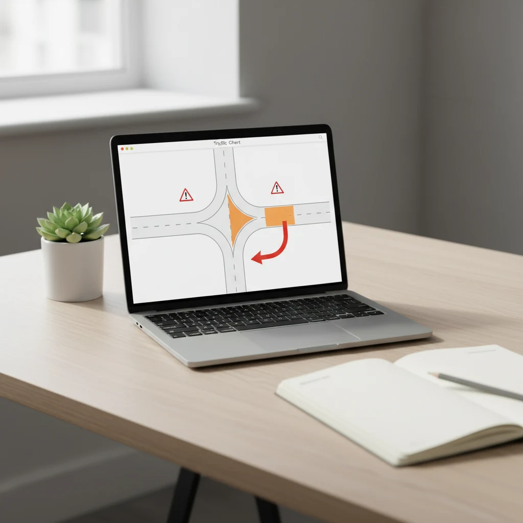
A traffic drawing is the visual document a regulator wants to see before they sign off on a closure: lane geometry, sign placement, detour arrows, barrier positions, the controller posts. Without a clear drawing the permit stalls and the closure does not happen.

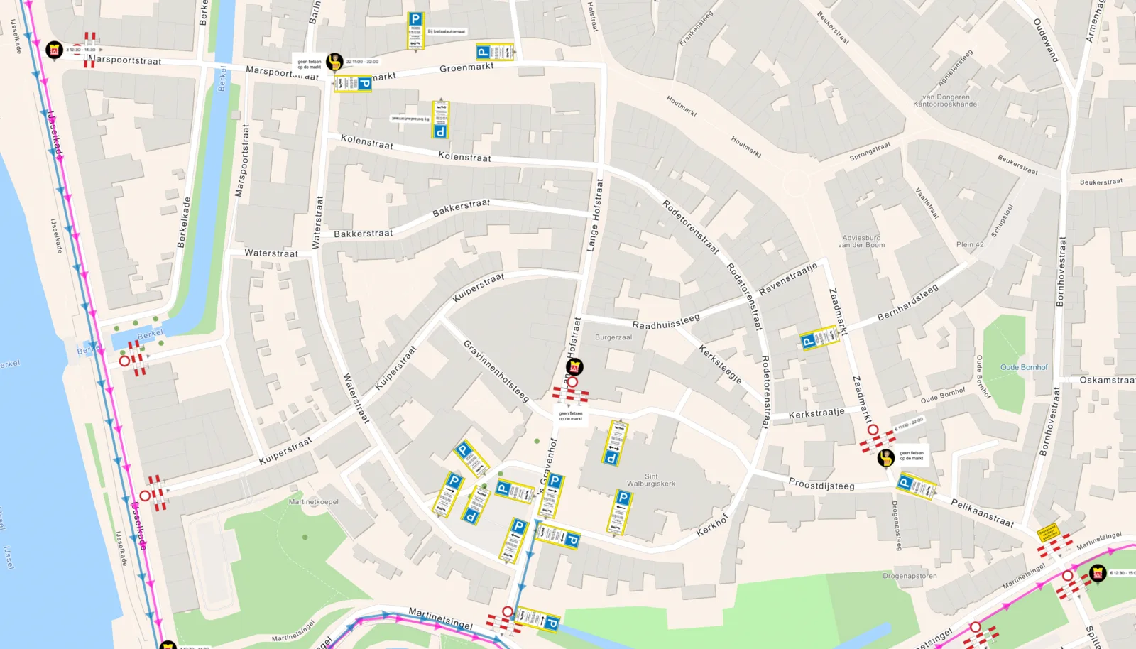
With Traffic Chart you sketch the closure on a scaled site map, drag the regulation-correct road signs from the country's catalogue onto the canvas, place barriers and traffic controllers, and export a regulator-ready PDF in one click. The same drawing is your safety document, the council submission and the on-site reference for the crew on the day.

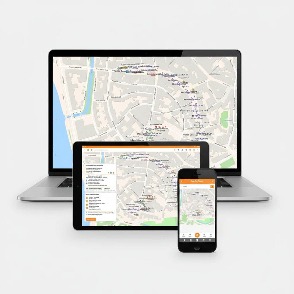
UK Traffic Chart workspace on a laptop showing a scaled traffic drawing with road signs placed on a lane-closure layout

Watch our 45 second traffic drawing demo

See an event map and a traffic plan come together in under a minute. Clip from 2025; 10,000+ users today.

Drag-and-drop traffic drawing editor with 600+ road signs and live preview

02 USER-FRIENDLY

Intuitive traffic drawing software

The drawing module is built to be intuitive and powerful at the same time. Whether you are drafting a multi-stage motorway closure or sketching the access route to a 200-person community event, the canvas is fast to learn and quick to use in production.

With over 600 built-in road signs, barriers, beacons and traffic-controller icons, you place every element of the drawing in minutes. No CAD background needed. Drag-and-drop, snap-to-grid, real-time preview, instant PDF export.

Cloud-based workspace means you can pick the drawing up on a tablet next to the crew, tick off signs as they are placed, and share live edits with the safety officer or the council reviewer without sending a single PDF by email.


Who draws traffic plans in Traffic Chart?

Event organisers, infrastructure contractors and municipalities all draft their traffic drawings in the same workspace.

For event organisers

For event organisers

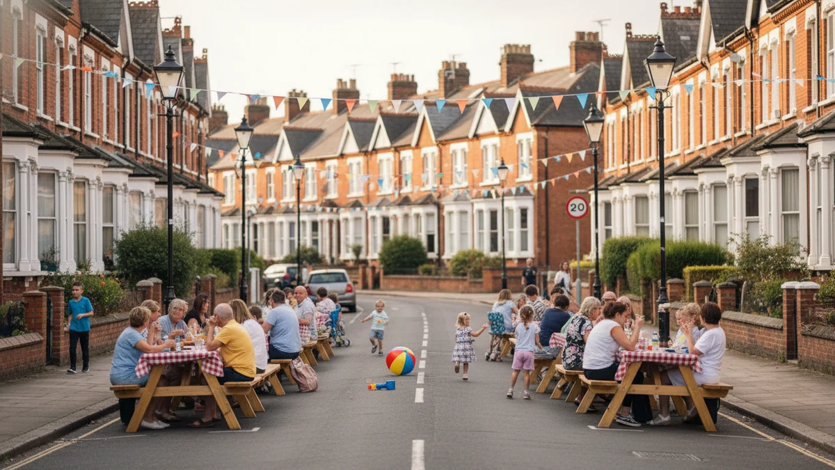
Drawing your venue layout? Filing a road-closure plan for the access road? Build both in the same workspace, with drag-and-drop infrastructure for the event map, smart zones with automatic area, walking and emergency routes, and the full road-sign library when you need it.

Read more
For contractors and infra professionals

For contractors and infra professionals

Closing one or two roads (partially) for works? Mandatory traffic plans in minutes. Simple enough for an intern, accurate enough for the council. Running multiple projects a month? The time saved pays back on your first plan.

Read more
For municipalities

For municipalities

Give residents and small-event organisers a friendly tool to draft event maps and traffic plans. Centralise permit intake, cut the email back-and-forth, and review up to 90% faster from a single dashboard.

Read more

Features

  • Drag-and-drop road signs and traffic-control infrastructure
  • Traffic routes, detours and emergency-access lanes on a scaled map
  • Sign placement and replacement with the full country-specific library
  • Smart zones with automatic area and distance calculations
  • Toolbox of all common signs, barriers, beacons and traffic controllers
  • Download examples and a sign-placement reference for the crew

Benefits

  • Efficient, fully digital workflow
  • 90% faster and cheaper than CAD-based alternatives
  • Flexible: from a single-lane residential closure to a 5 km motorway diversion
  • User-friendly enough for an intern, accurate enough for a regulator
  • Consistent output across every drawing you produce
  • Free access to in-depth guides and a full help center
Traffic Chart replaces Word, PDF, Paint, Photoshop, CorelDraw and CAD, all in one tool for traffic drawingsREPLACESWWORDPDFPDFPPAINTPsPHOTOSHOPCdCORELDRAWCADCADAll-in-one with Traffic Chart
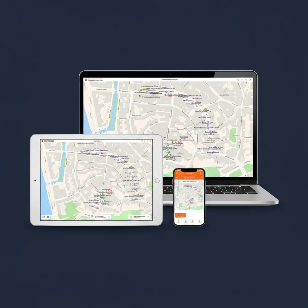
Traffic Chart traffic drawing software running on a laptop, tablet and smartphone, with the Bokbierdag event-site map visible on every screen

03 VERSATILE

Traffic drawing software for everyone

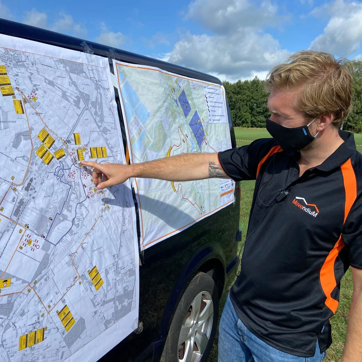
Traffic Chart's drawing tool is not only for road-works contractors. It is equally at home with event organisers planning a festival access route, with infrastructure teams scheduling temporary closures on the public network, and with local authorities reviewing the drawings residents submit.

With one easy-to-use interface, anyone on the team produces a comprehensive traffic drawing in minutes. The same drawing is the safety document, the council submission, the crew's on-site reference, and the post-job report when the closure lifts.

Drag to compare

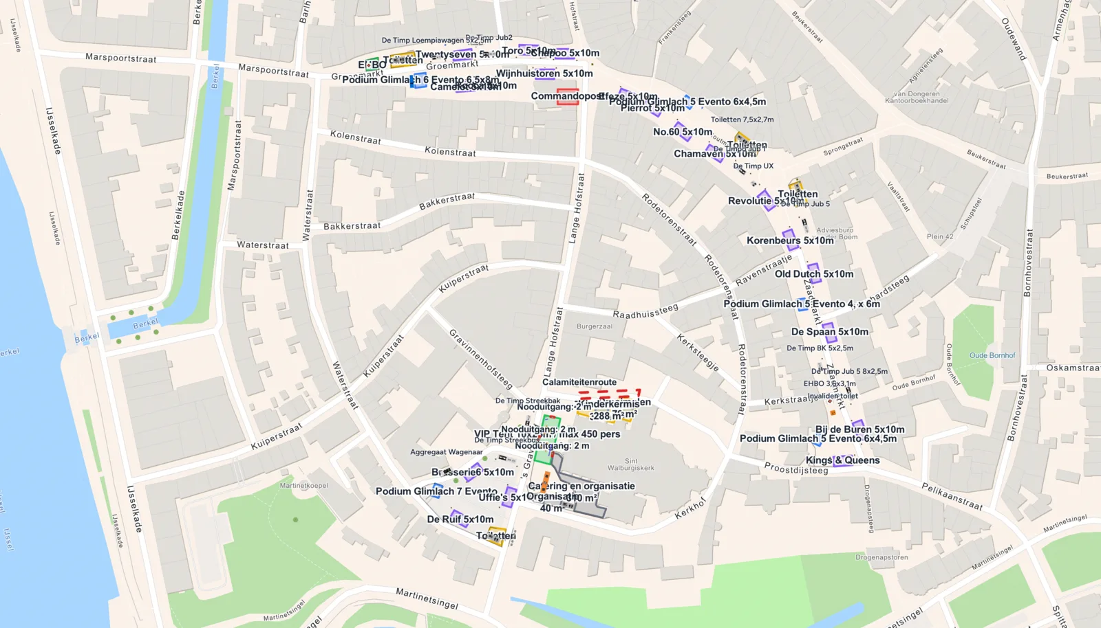
Same event. Left side is the traffic drawing, right side is the event-site layout.

Traffic drawing reviews from happy users

10,000+ professionals draw traffic plans in Traffic Chart every week. Here is what a few of them say about the drawing module.

4.79/ 5 (7 reviews)
4.5

“My roadworks crew and the event team work the same traffic drawing. No more emailed PDF version rounds.”

David Thompson, ITS consultant

READY TO TRY?

Start your first traffic drawing, free!

Save up to 90% in time and cost. Start a free trial today and get direct access to the full feature set. We are happy to guide you through.

Start for free →

Frequently asked questions about traffic drawings

Everything event organisers, road-works crews and council reviewers ask before they trust the tool with their first traffic drawing.

What is a traffic drawing?
A traffic drawing is the scaled visual document submitted with any permit that affects the public road: a road-works closure, a festival access route, a parade, a delivery for a major build. It shows the lane closure, the detour, the regulation-correct signage along the diverted route, the placement of barriers and traffic controllers, and the emergency-vehicle access lane. Most councils make the permit conditional on the drawing being approved.
How is a traffic drawing different from a traffic control plan?
The traffic drawing is the visual artefact. The traffic control plan is the broader operational document that wraps the drawing with sign schedules, lane-closure timing, crew sheets and review notes. In Traffic Chart you produce both from the same canvas: the drawing on screen, the full control plan as PDF export.
Do the road signs in the drawing match my country's regulations?
Yes. The library carries the official catalogues per country: RVV in the Netherlands, StVO + RSA in Germany, TSRGD + Chapter 8 in the UK, DGT Norma 8.3-IC in Spain, IISR (8e partie) in France, the Portuguese Manual de Sinalização Temporária. Switch the country and the catalogue switches too.
How long does it take to produce a traffic drawing?
Roughly 20 minutes for a single-lane residential closure, 1 to 2 hours for a multi-zone festival access plan, 2 to 4 hours for a multi-km motorway diversion with full RSA / Chapter 8 sign-by-sign listing. The first drawing takes longer while you get familiar with the library; from the second drawing onwards you duplicate the previous one and adjust.
Does the export include a sign list for the crew?
Yes. Every drawing generates an automatic list, sign type, quantity, location, mounting height, which the crew uses as a packing list. Saves the half-day someone usually spends counting icons by hand.
Can I collaborate with my team on the same traffic drawing?
Yes. Drawings live in the cloud and can be shared with view-only or edit access. The safety officer, the traffic regulator and the works manager all work on the same source file, which removes the round-trip emailing of PDFs.
Can I reuse a previous traffic drawing as a template?
Yes. Duplicate any past drawing and the new draft inherits the closure geometry, the sign list, the detour route and the barriers. A yearly returning event or a periodic maintenance closure becomes a 10-minute job instead of a half-day rebuild.
Is the first traffic drawing free?
Yes. Your first traffic drawing is 100% free and basic event maps are free forever. No credit card needed to start, and the free tier just keeps working.
Can I draw the emergency-vehicle access into the plan?
Yes. Draw a dedicated emergency-access lane with width and turn-radius indicators, and the route is automatically validated against your detour to flag conflicts. The fire-brigade reviewer can read the drawing without translation.
What happens after I submit the drawing to the council?
The council reviews the PDF on their side, often signs it off without changes, and the permit is issued. If they request edits you adjust the live drawing in Traffic Chart, re-export, and resubmit. Most councils approve revisions within a few days.