
FOR MUNICIPALITIES
Standardise your event and traffic plans
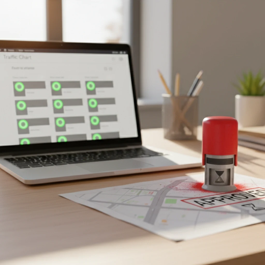
Use our software to standardise your event and traffic plan requirements for your whole community. Our intuitive traffic plan software makes it easy for everyone living in your municipality to create a professional plan that you can approve or disprove in a matter of seconds.
Contact us, and we’ll show you how 78 municipalities (and counting) are saving 90% in time and cost.
“A real addition to the permits desk, residents submit cleanly and we approve faster.”
“Every submission lands audit-ready, so our committee reviews take minutes instead of an afternoon.”
Request a contact call
It's not just municipalities that love us:




90+ municipalities in the Netherlands and 10,000+ professionals from the event and infrastructure sectors use our software daily.
“I've been using Traffic Chart for a while now and loved it from day one. It makes my job in event production a lot easier.”
01 WHY JOIN
Boost community-driven initiatives
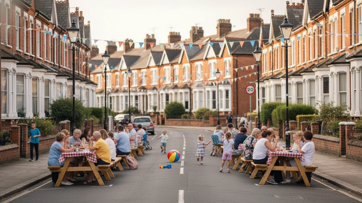
Hand your residents the tools to create a traffic plan or event map without needing a technical background. Our municipal clients see a visible uptick in new and repeat community initiatives after switching to the same intake layer.
Small community events are the cultural backbone of a healthy neighbourhood. We proudly sponsor and offer the software for free to 100+ non-profit initiatives. The same easy intake works for both, a 200-person community fete and a 5,000-person festival.
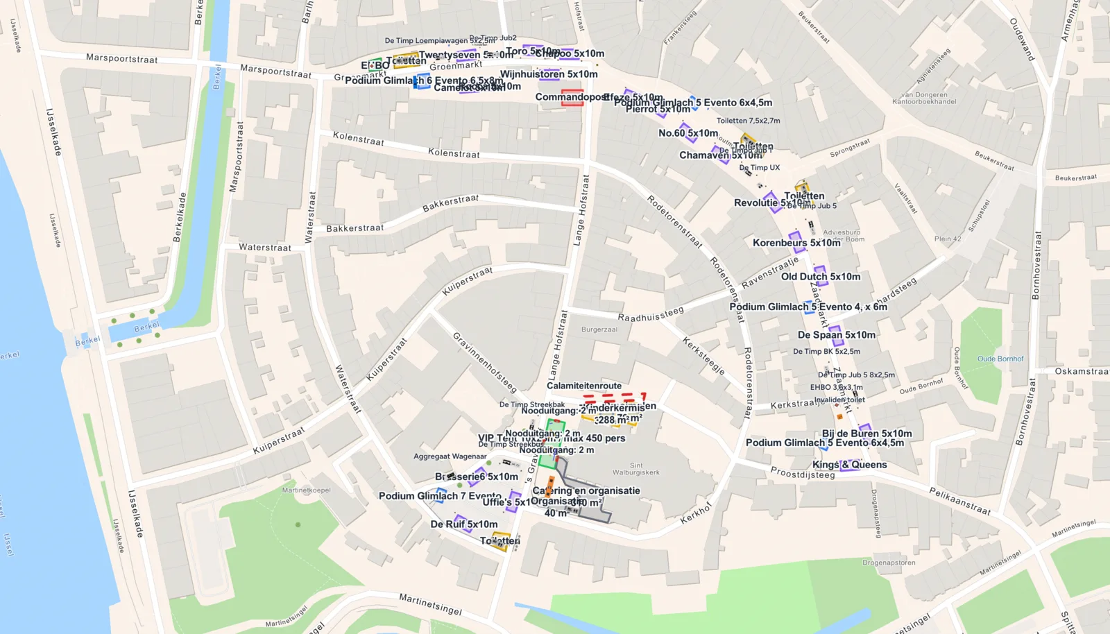
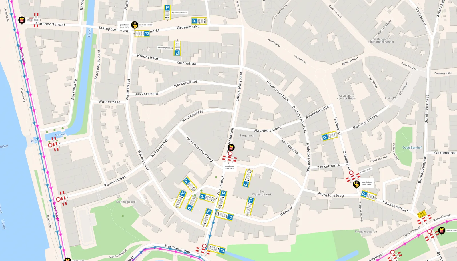 Traffic planEvent-site layout
02 STANDARDISATION
One format, 90% less creation time
Tired of receiving submissions in Word, PDF, Paint, Photoshop, CorelDraw, CAD and 20 other formats? Each of those tools is a versatile general-purpose application that needs training to produce something that should be simple. Drop the toolchain, embrace one canvas, and watch your team's workload drop.
Every submission lands in the same scaled map format with the same icon catalogue. Reviews take a fraction of the old time because the document shape is predictable; flagging an issue is a click on the map instead of a back-and-forth email.
Drag the slider, left is the traffic plan, right is the event-site layout. Two separate drawings of the same event, made in two separate Traffic Chart modules but both built on the same live basemap, so when they land in your inbox they line up exactly. The format your municipality receives on every permit submission.
03 SPEED
Up to 3x faster approvals
Plans created in your municipality are auto-assigned to your account. You get your own dashboard with submissions, statuses and the right departmental routing. Request changes visually on the map: draw a zone, drop a pin, write a comment.
Each plan has its own timeline so you always see the history. We are building toward frictionless collaboration between every department that touches a traffic plan or event map, permit intake, traffic engineering, event safety, public works.
Features
- Better-quality submitted plans, event maps and traffic plans alike, fully digital
- Social impact: event maps stay free for every organiser, license or not
- User-friendly software, better collaboration between residents and council
- Fully digitally accessible (WCAG-EM certified)
- Interactive drawing modules: tips and tricks prevent errors before submission
- Live Melvin integration (NL)
- Review module: in-map assessment and permit issuance, no more screenshots
- Watch along live: every change to a plan is visible in real time
- Multi-user access with role-based permissions per department
- 100% accurate positioning down to the coordinate level
- Export A4 through A0, custom per drawing
- Auto-generated material lists per plan: barriers, cones, traffic signs and crew in one overview
- Daily traffic-sign library updates, compliant with national codes
- Auto-counting post-instructions module
Benefits
- EU-hosted and GDPR-compliant, your council's data stays yours
- Live in 5 minutes, no IT integration or procurement detour required
- Save up to 90% time per submission, with unlimited traffic-plan archive & audit trail, exportable to case-management systems (RX-Mission, Djuma, Join)
- Includes onboarding, organiser session and yearly update workshop for all departments
- No additional or hidden cost, no annual indexation
- License via software broker possible (e.g. ProtinusIT or SoftwareOne)
Hits your policy goals
- Citizen participation
- Digitisation
- Process efficiency
- Audit transparency
- Innovation
- Social impact
This will be your workflow
Nine steps from the moment a citizen or organiser hits submit to the moment you sign the permit off. Every state lives in the same dashboard.
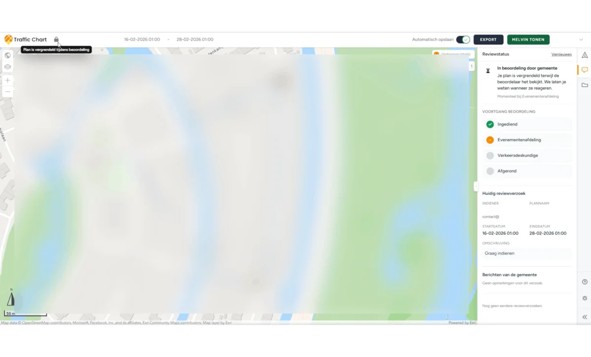
Submission lands
A resident or event organiser submits their plan. The drawing is locked at submission time and an email pings your event/permit department.
READY TO TRY?
Talk to us about your intake flow!
New municipality clients get free software training for the Permit, Traffic and Events departments plus a yearly update workshop. Tell us about your current setup and we'll show how to standardise it in 1 hour.
FAQ, municipalities
Common questions from permit officers, traffic engineers and event-licensing teams.